The United States of America; land of the free, home of the brave, fond of a cliché. A vast nation brought together under the Star-Spangled Banner, but split by state lines, political alliances, and cultural norms. To try and define the country as a whole is a futile task — it's often said the reason many Americans don't travel abroad is because they can experience anything the world has to offer within their borders. Perhaps it's not as hyperbolic as its sounds — sprawling metropolises are buffered by mountain ranges, deserts, forests and beaches; large immigrant communities have been established, including Latino, French, Irish and Caribbean; weather can range between freezing cold, to searing heat, with everything from hurricanes, tornados and dust storms in between. The U.S.A. is divided into 50 states, and the only two that don't border other states give a good example of the cultural and geographical juxtapositions found within the nation — Alaska to the North is a frozen tundra, shutting down in the darkness of winter, whereas the islands of Hawaii are a famed tropical paradise, attracting beach goers and surfers from the world over. They also both contribute to the ethnic diversity of the U.S. with their own indigenous peoples, the Polynesians of Hawaii, and the Eskimo tribes covering Alaska and Canada.

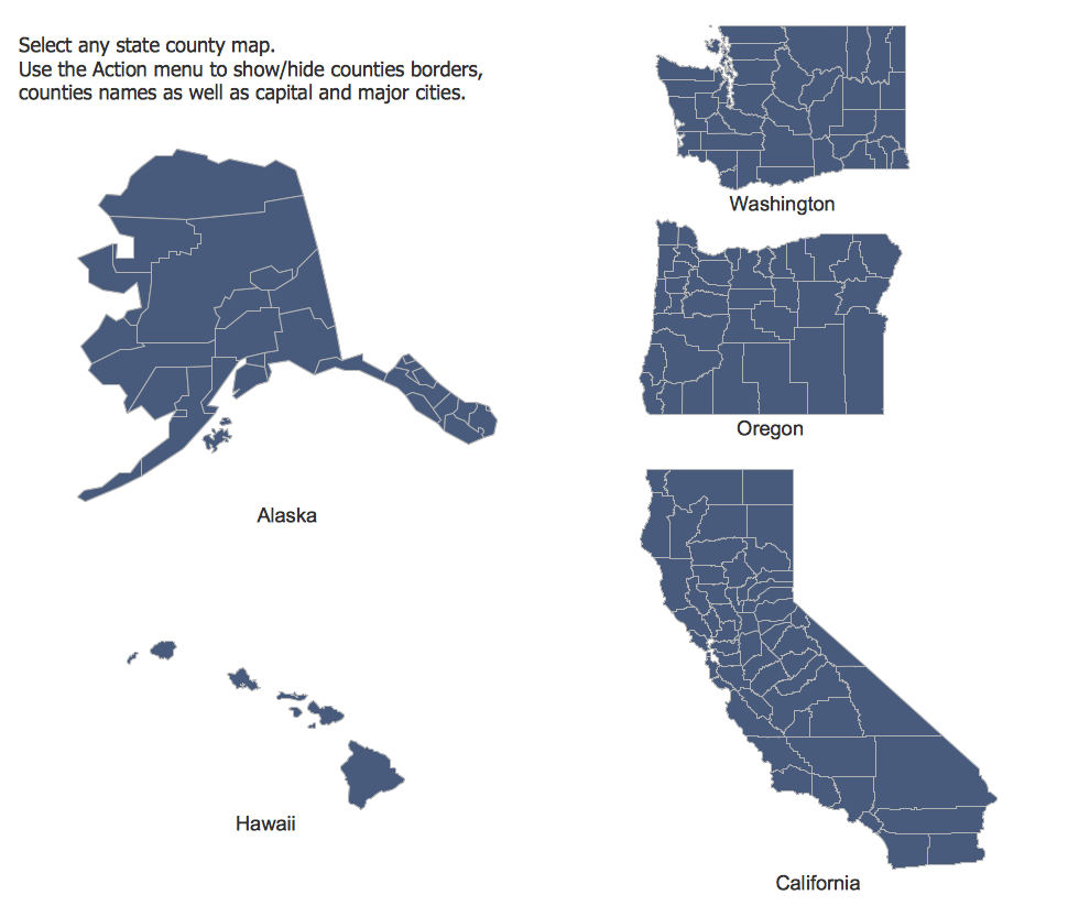
The Pacific states
The 50 states serve as the most recognizable form of geographical division within the U.S., but these can be broken down further into counties and townships. Certain states are officially grouped together into homogenous regions, comprising the North-East, Midwest, South and West. Furthermore, numerous colloquial regions have been identified and become a part of the national lexicon — the deep South, the Bible belt, the mountain states, New England or the Pacific Northwest to name but a few. Governing such an expansive and diverse populace is a challenging prospect. American politics are dominated by the Democratic and Republican parties, and broadly and historically speaking, it can be said the 'Yankee' North favours the Democrats, with the 'Confederate' South supporting the Republicans. Further nuance can be discovered by examining political preferences geographically between states and counties, and combining that data with social factors such as age or race.

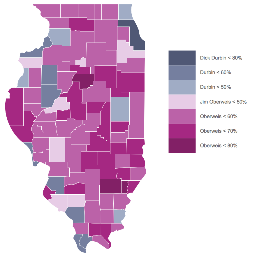
Illinois Senatorial election results 2014
Any country can inspire a wealth of geopolitical statistical data, though America more than most. A common way of assimilating this data is to create maps that convey a particular theme or subject matter in relation to a specific geographical area. Known as thematic maps, they cover themes such as population density, average rainfall, or political allegiance, differentiating the data by using graphical elements and annotation. These are the main three uses for a thematic map:
- To provide specific information about particular locations
- To provide general information about spatial patterns
- To compare pattern between two or more maps
Thematic maps contrast general reference maps, which tend to display information on a variety of subjects — vegetation, topology, roads and highways, for example. A thematic map will always focus on one particular subject matter. When designing these maps, cartographers use five main techniques:
Choropleth mapping — this technique assigns a colour hue or shade to a particular region on a map, that corresponds with a data value. For instance a map of the U.S.A. might colour each state red or blue, to show whether they support the Democrats or Republicans.

Florida population by county
Proportional symbols — these maps use symbols that vary in size depending on the data they are representing. So a U.S. map showing cities might mark them using a skyscraper symbol that grows in size the larger the cities population.
Isarithmic maps — also known as contour mapping, this methodology is used to depict continuous, smooth elements such as elevation levels across a land mass, or a barometric pressure indicator, similar to what you might see on a T.V. weather programme.
Dot distribution maps — in these maps, one dot represents one incident of a certain event or condition. A map focusing on a particular United States region might use a dot to represent each sighting of a grizzly bear in the Pacific Northwest. You will know to avoid travelling to places where the dots are tightly clustered!
Dasymetric maps — similar to a chloropleth map, but doesn't divide the area arbitrarily, instead showing levels of density in reference to the geography of the land. This method can be used to show density of forestry over a large area for example, with a green hue that becomes darker where the concentration of trees are highest.
ConceptDraw have created a new solution, this time offering accurate vector stencil maps of all 50 U.S. states. These can be used as the base for any thematic map of your choosing. The U.S.A. Maps solution for ConceptDraw PRO contains 9 libraries, each covering a certain region of the U.S., and each state map contained within gives the option of adding further detail — an action menu allows you to show or hide county borders, their names, as well as capitals and major cities. Used in combination with ConceptDraw PRO's other features, cartographers are able to annotate their maps, adjust the colour and shading of different areas, and add icons and graphics to enhance a professional looking thematic map.
With major geographical features accounted for, and accurate scaled U.S. state maps, the U.S.A. Maps solution saves time on information sourcing, and makes graphic map design a quick and easy process.
No comments:
Post a Comment