Despite their relatively small size, the United Kingdom and Ireland are host to a wide variety of social and geographical features, and an intricate system of country borders, county lines and regional communities. Depending on your perspective and preference, a number of names can mean the same thing — the UK refers to four countries united — Northern Ireland, Scotland, Wales and England. Great Britain includes just the latter three. Quite often however, patriots will proudly refer to their home nation by its individual name. To describe all the islands together, including smaller semi autonomous areas such as the Isle of Mann or the Channel Islands, the term British Isles is used.
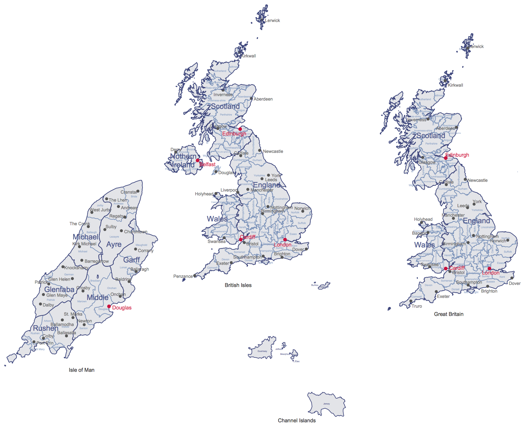
For administrative and political purposes, each country is divided into a number of counties, which are then further subdivided into districts. In England these county borders are ever changing — so much so that there are two interpretations of the map. The 'ceremonial' counties have their roots in the original outlines set in the Middle Ages. The newer borders reflect changes in politics and a growing population, including a number of 'metropolitan' counties that typically cover a small but densely populated region — Greater London is one such example. The other countries of the UK, and Ireland, employ a similar system.
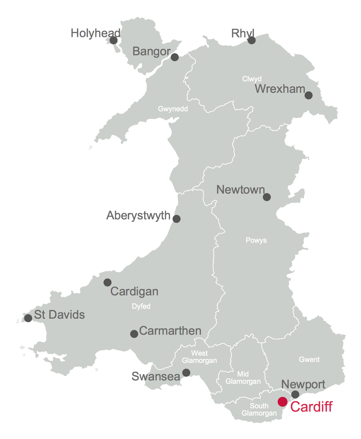
A varied social landscape makes the British Isles an ideal candidate for various types of thematic map — a visual way of studying different points of interest and geographical data. Using land or political borders as a base, and referencing major towns and cities, it's possible to apply certain subject matter to a map to create an at-a-glance view showing particular data distribution across the land. For instance, although English is the most common language across the Isles, a thematic map might show concentrations of Welsh speakers in Wales, or those who practice Gaelic in Ireland or Scotland. From a political perspective, county borders can be used to show which areas traditionally vote Labour or Conservative at election time.
Thematic maps come under the larger scope of geospatial infographics. Infographics are in common usage throughout business, often providing some angles on sales or logistics. It's important to know which products are popular in which region, and just as important to organize their distribution. Geospatial infographics can provide information for any number of industries, including utilities, natural resources, public safety, road networks or social science, and many more.
An ideal platform for users needing to generate thematic maps and infographics is ConceptDraw PRO, extended with the UK and Ireland Maps solution. With this diverse diagramming tool and solution, you are provided with professionally drawn outlines of the British Isles, giving knowledge workers a quick start for any thematic designs they might need to produce.
Map graphics can be toggled to show regional borders and major cities, and also included are a number of samples and templates of common infographic ideas. As with all their solutions, ConceptDraw provide comprehensive training videos and supporting texts on their website, helping users new to ConceptDraw PRO become comfortable with the many features available. One of these features is the ability to export diagrams in a number of graphical formats — ideal for collaboration in a business setting.
The UK and Ireland Map solution for ConceptDraw PRO opens up new borders for diagramming possibilities.